Heafford Junction
Lake Nokomis Wisconsin

"Southwestern Oneida County, located on the south shore of Lake Nokomis and along U.S. Highway #51. From Vol. 93 of Deeds, the description is as follows:
"All that part of SE1/4 SE 1/4 Sec. 34, T36N R6E lying South of Big Rice Creek, not overflowed by water raised by a dam across Tomahawk River in Sections 4 and 9 T35N R6E to a height of 32.5 ft above the rollway of the Tomahawk Land and Boom Company's dam in Sec. 10 T34N R6E; Excepting and reserving to the grantor a strip of land 30 ft. wide at all points and contiguous to and extending entirely along the boundaries of the flowage created by said dam.
"Also excepting and reserving to the grantor, all that portion of the said description lying next to the creek and north of the northerly east and west ravine, used as a borrow pit."

Lake Nokomis

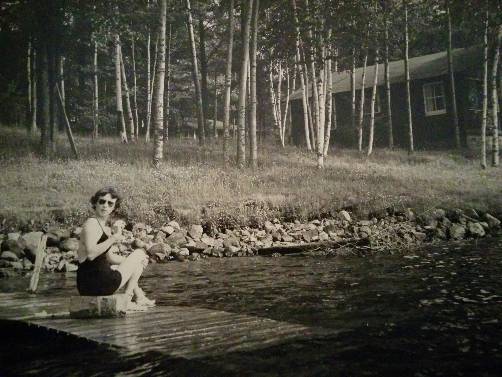
There was 1320 ft of Lake Nokomis Frontage. Lake Nokomis is a flowage of the Tomahawk River, approximately 2000 acres in area. It's maximum depth is 13 ft. The Tomahawk River is a famous canoe stream and fishing is considered very good in both the river and in Lake Nokomis. As of 1974, the latter was famous for Wall-eyed Pike and received a heavy play each spring. The flowage of Lake Nokomis was drawn each winter and filled again each spring by the Wisconsin Valley Improvement Co. This arrangement gave Pleasant Point a good sandy beach.


1 comment:

  1. OMG when I was very young my parents would always take us to Jon and Jo's. Sometimes we rented a cabin sometimes we just drove up from Wausau to see them, the folks would have a beer and we would dance to the juke box. What a blast from the past!!!

    ReplyDelete